
OBRIY
Tactical UAV Mission Simulator
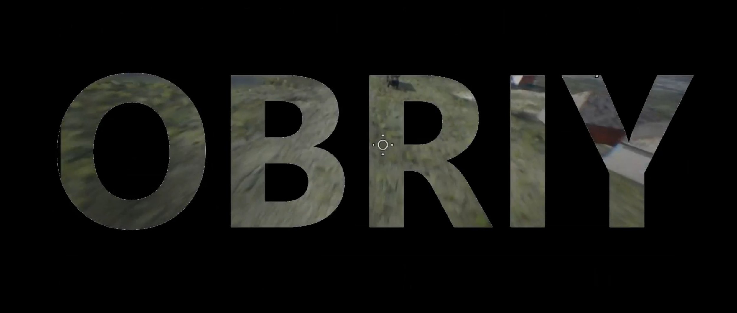

Tactical UAV mission‑planning and training simulator
Obriy: Tactical UAV Training Built on Real Combat Experience
Obriy is a cutting-edge UAV mission planning and training simulator developed from firsthand operational knowledge of drone warfare in Ukraine. It’s designed to prepare operators for real-world scenarios using highly realistic systems and tools.
Applied Virtual Simulations is proud to partner with Twisted Robotics Group, who lead ongoing development and updates for Obriy. Enhancements are driven directly by feedback from Ukrainian soldiers on the frontline —ensuring the simulator reflects current battlefield realities.
Key features include:
High-fidelity terrain and weather simulation
Satellite-based terrain and vegetation, with dynamic wind and gust modelingAdvanced radio and electronic warfare modeling
Realistic simulation of control links, video feeds, and signal interferenceDiverse UAV types
Includes FPV strike drones (with bomb-drop and kamikaze modes) and stabilized-camera drones for reconnaissance and artillery spottingComprehensive mission tools
Supports strike, reconnaissance, and air-to-air engagements; includes multiplayer coordination, situational awareness overlays, and DIS protocol integrationWide range of munitions and fuses
Over a dozen warhead types with four fuse variants, tailored to specific operational needs

Realistic Landscape Based on Satellite Images
Terrain modeled using a real-height map
Foliage and artificial structures estimated from satellite photography
Training modules for artillery adjustment, anti-aircraft operations, and radar usage


A realistic tactical UAV training built from field‑tested methods. From FPV strike to reconnaissance missions, simulate terrain, weather, munitions, and radio environments.
Current and Future Use of Strike Drones
A variety of UAV platforms and equipment
Standard and experimental munitions for various applications
Training and simulation for unconventional, asymmetrical UAV warfare
Additional external modules (e.g., terminal guidance systems)
Simulation of Combat, Environmental, and Artificial Conditions:
Positioning of enemy targets, including behavior patterns, fortifications, and electronic warfare (EW) systems
Modeling wind layers and gusts for realistic atmospheric effects
Radio modeling with terrain-based visibility and interference considerations
Independent simulation of control and video channels, with relay functionality


To request a demonstration of Obriy or information on how AVS can provide capability to your project, please contact us.